Last Modified:
3 September 2012
What's
New
History
General
Date
Biographies
Cemeteries
Census
Churches
Court Records
Events
Law
Military
News
Obituaries
Schools
People (from OurFamily)
Cemeteries
Census
Churches
Court Records
Events
Law
Military
News
Obituaries
Schools
People (from OurFamily)
Vitals
Births
Deaths
Marriages
(Bridge / Groom)
Divorces
Deaths
Marriages
(Bridge / Groom)
Divorces
Family Data
Bibles
Stories
Group Sheets
Stories
Group Sheets
Other
Mailing
List
Volunteers
Wish List
County
List
State List
SurnamesState List
Volunteers
Wish List
 |
Welcome
Guam |
 |
Welcome to the Guam website which is hosted by Trails To The Past.
My name is Charlie Vines and I am the temporary host for Guam. If you would be interested in adopting Guam or one of the other U.S. Territories, please contact me. If you would be interested in joining our group in an area other than the U. S. Territories, you can contact me or contact the District Coordinator for the area you would be interested in by visiting our District Map.
If you find any errors on this site or if you would like to contribute to this project, please contact me.
Although I do host this site, I do not live in this territory; therefore, my ability to assist with any research will be extremely limited. I will be adding a volunteer page in the future. This will provide everyone researching this county to help each other.
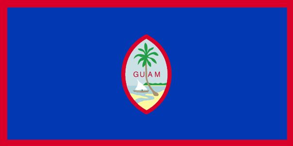
Guam, called Guahan by the Chamorro (the indigenous people of Guam), is an organized, unincorporated territory of the United States located in the western Pacific Ocean. Guam is the largest and southernmost of the Mariana Islands. Guam, which was under Spanish Control, became an American Territory when it was surrendered to the U.S. in 1898 and then formally ceded as part of the Treaty of Paris which ended the Spanish American War.
Guam is divided into 19 municipalities which are called villages. They are:
Agana Heights
Agat
Asan-Maina
Barrigada
Chalan-Pago-Ordot
Dededo
Hagatna
Inarajan
Mangilao
Merizo
Mongmong-Toto-Maite
Piti
Santa Rita
Sinajana
Talofofo
Tamuning
Umatac
Yigo
Yona.
The Unitied States military maintains jurisdiction over several military bases in Guam will comprise about 29% of Guam's landmass. They include:
U. S. Naval Base Guam in Sumay
U. S. Coast Guard Sector in Sumay
Anderson Air Force Base in Yigo
Apra Harbor on the Orote peninsula
Ordnance Annex, U. S. Navy in the South Central Highlands
Naval Computer and Telecommunications Station operated by the U. S. Nacy in Barrigada and Finegayan
Joint Force Headquarters, Guam National Gaurd in Radio Barrigada and Fort Juan Muna.
|
|||
| site search by freefind |
If you have information that you would like to contribute concerning Guam, please e-mail the information to me and I will gladly post it to the site.
Our
Projects
| Emigrant Trails |
Ghost
Towns |
Pony Express, Post Roads & Stage Lines |
U. S. Cemeteries |
U. S. Military |
Click here to view all of our projects.
| Return
to
the U. S. Territories Home Page |
This site may be
freely linked, but not duplicated without consent.
All rights reserved. Commercial use of material within this site is prohibited.
The copyright (s) on this page must appear on all copied and/or printed material.
© 2010 - by the Guam Administrator
All rights reserved. Commercial use of material within this site is prohibited.
The copyright (s) on this page must appear on all copied and/or printed material.
© 2010 - by the Guam Administrator